Glacier National Park has more than 700 miles of maintained trail spread across a million acres of the Rocky Mountains, and no visitor sees more than a fraction of it in one trip. The park splits into distinct hiking regions — the Going-to-the-Sun Road corridor, Many Glacier, Two Medicine, the west side around Lake McDonald, and the remote North Fork — and picking hikes within whichever region you're actually staying near matters more than chasing a single famous name.
This guide breaks down the best day hikes in each region with real trail stats: round-trip distance, elevation gain, and what you'd actually see at the end. It flags where boat shuttles or 2025-2026 construction have changed how you reach a trailhead, and closes with a season-by-season breakdown of when Glacier's high country actually opens up.
How to Use This Guide (and How We Picked These Hikes)
Glacier's trail network covers more than 700 miles, per the National Park Service, organized here by the five areas most hikers actually base themselves in: the Going-to-the-Sun Road corridor around Logan Pass and Lake McDonald, Many Glacier, Two Medicine, the west side near Apgar, and the North Fork around Polebridge. Each sits on a different flank of the park or a different side of the Continental Divide, and none connects to another by a quick in-park road — reaching Many Glacier from the west side means driving out to Highway 89 and back in through St. Mary, a trip that eats a half-day on its own.
Pick one region per day of hiking rather than sampling all of them, and choose it based on where you're staying rather than which trail photographs best. The stats below come from the park service and long-standing trail guides where the two agree; where sources disagree slightly on mileage or elevation gain, we've given the range rather than an arbitrary single number.
Comparison Table: The Best Hikes at a Glance
The table below compares six signature hikes across every region of the park. Full write-ups, including trailhead locations and shuttle options, follow in the regional sections.
| Trail | Region | Round-trip Distance | Elevation Gain | Difficulty | Best For |
|---|---|---|---|---|---|
| Highline Trail | Going-to-the-Sun Road | 11.6 mi one-way, Logan Pass to The Loop | Rolling, minimal net gain | Moderate–strenuous | Ridge-top scenery |
| Grinnell Glacier | Many Glacier | 7.6–11 mi (shuttle vs. trailhead start) | 1,800–2,047 ft | Strenuous | Closest glacier views |
| Hidden Lake Overlook | Going-to-the-Sun Road | 2.7 mi | ~460 ft | Easy–moderate | Big payoff, short hike |
| Iceberg Lake | Many Glacier | 9.1–9.7 mi | 1,275–1,459 ft | Moderate–strenuous | Wildlife and a turquoise lake |
| Avalanche Lake | Going-to-the-Sun Road | 4.5 mi | ~750 ft | Moderate | Families wanting a real lake |
| Two Medicine Lake North Shore | Two Medicine | 3.7 mi | ~300 ft | Easy | Quiet, low crowds |
- Best overall: Grinnell Glacier, the closest look at an actual glacier without technical gear.
- Best ridge walk: Highline Trail, miles of exposed traverse along the Garden Wall.
- Best for families: Trail of the Cedars, a flat boardwalk loop under old cedars.
- Best for solitude: Two Medicine Lake North Shore or Bowman Lake.
- Best short hike with a view: Hidden Lake Overlook, 2.7 miles from Logan Pass.
- Best for wildlife: Iceberg Lake or Cracker Lake, both regular grizzly territory.
Best Hikes Along Going-to-the-Sun Road / Logan Pass
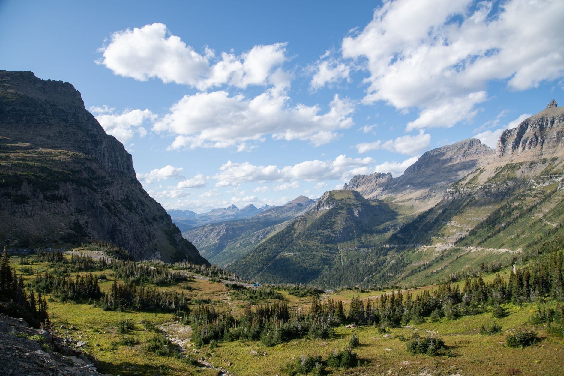
The Sun Road corridor concentrates Glacier's most photographed scenery within a short walk of pavement, which also makes it the most crowded part of the park. Logan Pass, the corridor's hub, sits at 6,646 feet, and most hikes below start from either the Logan Pass Visitor Center or the Avalanche Creek area lower down the mountain.
Highline Trail
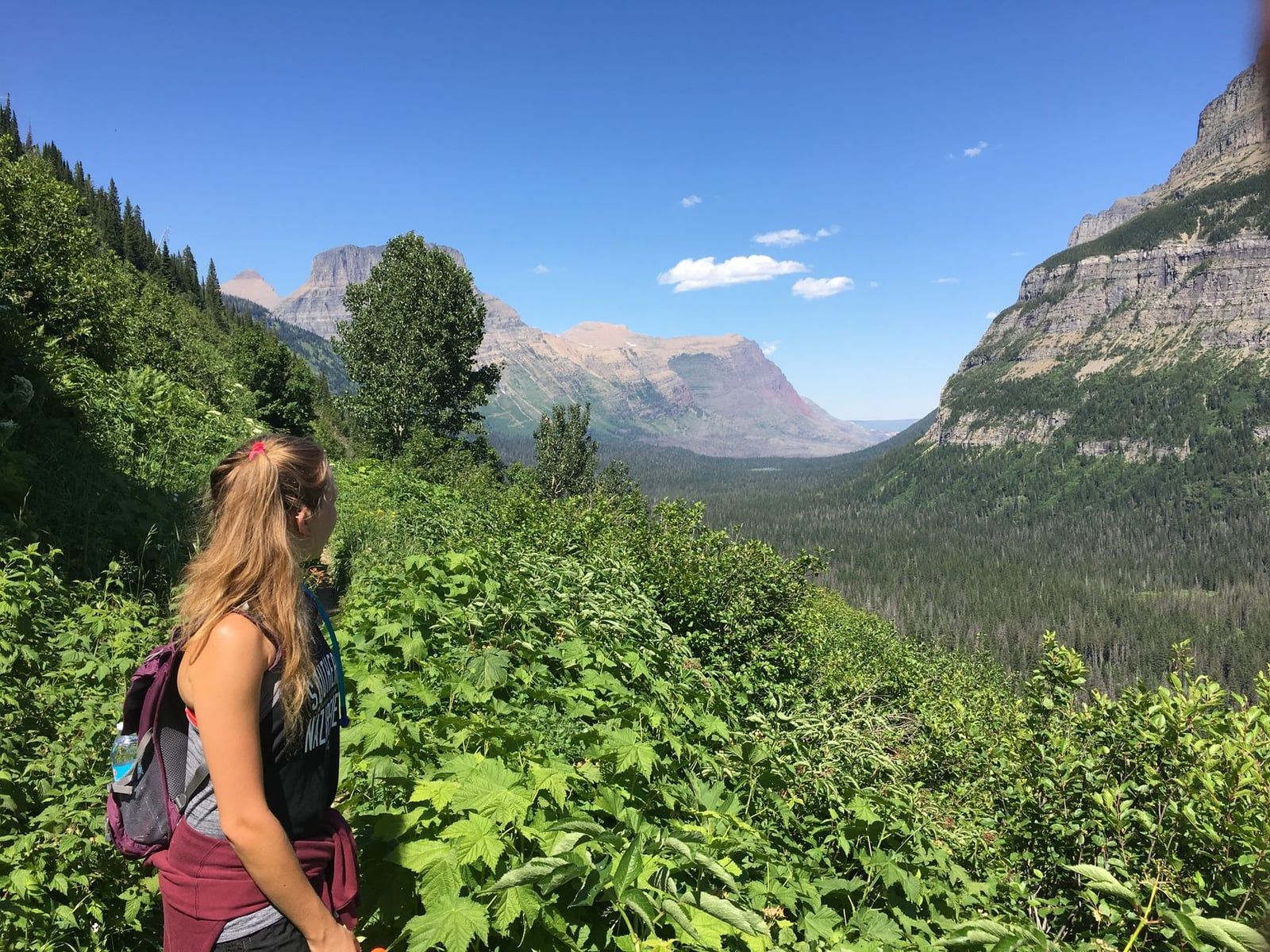
The Highline Trail runs 11.6 miles one-way from Logan Pass to The Loop, tracing a narrow cliffside path along the Garden Wall with a cable handhold bolted into the rock for the first exposed stretch. Most hikers arrange a shuttle pickup at The Loop rather than retracing the full distance, turning it into a point-to-point day.
The best detour is the Garden Wall cutoff to the Grinnell Glacier Overlook, an extra 0.9 miles one-way with about 900 feet of climbing that ends above Grinnell Glacier and Upper Grinnell Lake. Granite Park Chalet, a stone backcountry lodge partway along the route, makes a natural stop before the final descent to The Loop.
Hidden Lake Overlook and Hidden Lake
Hidden Lake Overlook is a 2.7-mile round trip from the Logan Pass Visitor Center, climbing roughly 460 feet on a mix of boardwalk and packed trail through subalpine meadow. Bear grass blooms here in July, and mountain goats graze close enough to the boardwalk that rangers regularly ask hikers to keep back.
The overlook is the turnaround point for most visitors; continuing past it down to the lakeshore adds a steep, loose descent that many hikers underestimate on the climb back up. Go early — this is the single busiest trailhead in the park, and the Logan Pass lot fills by mid-morning in July and August.
Avalanche Lake and Trail of the Cedars
Avalanche Lake is about 4.5 miles round trip starting from the Trail of the Cedars boardwalk, gaining roughly 750 feet as it follows Avalanche Creek's narrow cedar-and-hemlock gorge upstream. The lake sits under a semicircle of cliffs with several waterfalls dropping straight off the Continental Divide into the water, cold enough that wading rarely lasts more than a minute.
The Trail of the Cedars is a separate, easier option — covered in the family-hikes section below — but almost everyone hiking to Avalanche Lake starts on it before splitting off. Parking at the Avalanche Creek lot fills early; the free shuttle stops here.
Siyeh Pass
Siyeh Pass is roughly 9.8 miles point-to-point with about 2,244 feet of elevation gain, crossing the Continental Divide at close to 8,100 feet between the Siyeh Bend pullout and Sunrift Gorge. Hiking it one-way requires the free park shuttle to drop you at one end or collect you at the other, since the trailheads sit miles apart on the Sun Road.
The pass itself is a narrow, wind-scoured saddle with views down both sides of the divide, and snow can linger on the final approach into late July even in an average year.
Piegan Pass
Piegan Pass starts from the same Siyeh Bend pullout as Siyeh Pass and climbs through subalpine fir and larch to a saddle overlooking the Many Glacier valley, with glacier-carved peaks rising on both sides. Hikers wanting a longer day link Piegan and Siyeh into one point-to-point traverse using the shuttle at each end, rather than hiking either as a simple out-and-back.
St. Mary and Virginia Falls
St. Mary and Virginia Falls is a 3.1-3.6 mile round trip with about 450-500 feet of elevation gain, an easy grade that makes it one of the more forgiving Sun Road hikes with real waterfalls at the end. St. Mary Falls drops 35 feet in three tiers into a turquoise pool, and the trail continues another mile to the 50-foot Virginia Falls, often flowing hard enough to throw spray across the viewing area.
The trailhead is served by the free shuttle, which matters, since the small Sun Road pullout lot fills fast in summer.
Sun Point Nature Trail and Baring Falls
Sun Point Nature Trail is a short walk from a Sun Road pullout to a rocky point over St. Mary Lake, once the site of the historic Going-to-the-Sun Chalets. From Sun Point, the trail continues along the lakeshore to Baring Falls, a low, wide waterfall that makes a natural extension for anyone with an extra half hour rather than a full hike in itself.
Sperry Chalet and Sperry Glacier
Sperry Chalet sits at the end of a 12-mile round trip from Lake McDonald Lodge, climbing about 3,400 feet through forest and open switchbacks to a stone backcountry lodge built in 1913. The 2017 Sprague Fire badly damaged the chalet; it has since been rebuilt, and overnight reservations there book out months in advance.
Day hikers can turn around at the chalet or continue toward Sperry Glacier for a considerably longer, higher day. Either way, this is one of the bigger elevation gains on this list and is best attempted with an early start.
Gunsight Pass and Gunsight Lake
Gunsight Pass is a roughly 17.6-mile round trip from its Going-to-the-Sun Road trailhead near Jackson Glacier Overlook, with about 3,500 feet of elevation gain, passing Gunsight Lake at the halfway point before a steep final climb to the pass. Most day hikers treat the lake itself, about 12 miles round trip, as a more realistic turnaround, saving the pass and the trail's continuation toward Lake McDonald for an overnight trip.
Best Hikes in Many Glacier
Many Glacier's valley on the park's east side has more named glaciers and more grizzly bears within a few miles of trailheads than anywhere else in the park, and hikers who've done both regions often rate it above the Sun Road corridor for scenery. The historic 1915 Many Glacier Hotel sits on Swiftcurrent Lake and anchors most of the trailheads below.
Grinnell Glacier Trail
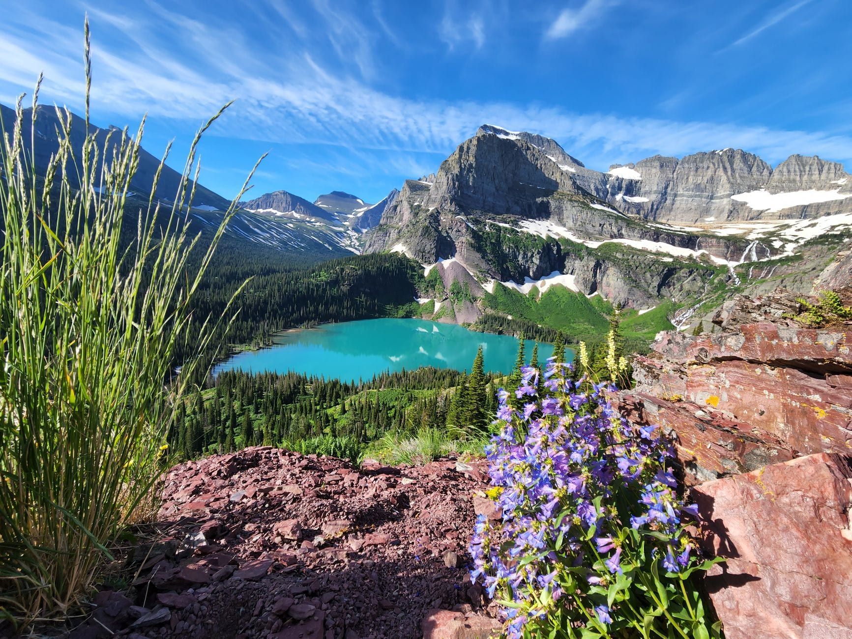
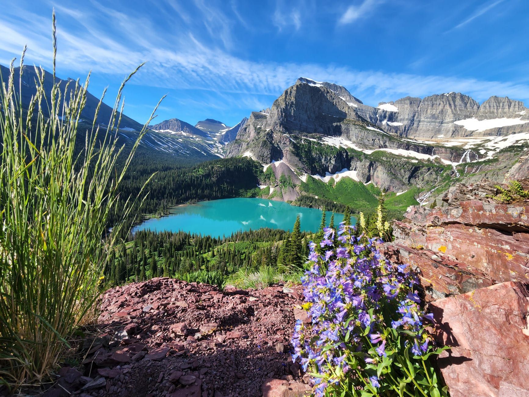
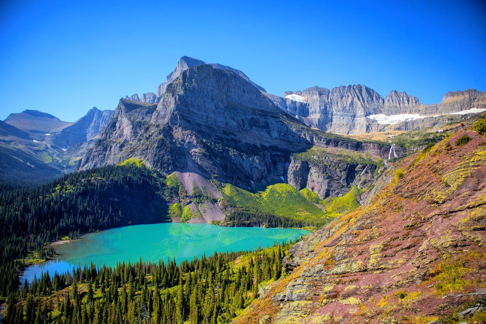
Grinnell Glacier is 7.6-7.8 miles round trip if you take the Glacier Park Boat Company shuttle across Swiftcurrent Lake and Lake Josephine, which cuts about 3.4 miles off the hike, or roughly 10-11 miles round trip starting and ending at the main trailhead on foot. Either way it gains 1,800-2,047 feet, finishing at an overlook above the glacier and the milky, iceberg-flecked Upper Grinnell Lake below it.
This is the most direct way to stand near an actual glacier in the Lower 48 without technical climbing gear. Book the boat shuttle in advance in July and August — it sells out, and the alternative is simply hiking the extra miles on foot.
Iceberg Lake
Iceberg Lake is about 9.1-9.7 miles round trip with roughly 1,275-1,459 feet of gain, starting from a trailhead behind the Swiftcurrent Motor Inn and climbing through meadows that see frequent grizzly activity. The lake sits in a rock amphitheater and holds floating ice well into summer in some years, which is where the name comes from.
Ptarmigan Tunnel
Ptarmigan Tunnel is roughly 10.6-10.7 miles round trip with about 2,362-2,700 feet of elevation gain, climbing to a hand-blasted tunnel through the Ptarmigan Wall that opens onto a view north toward the Belly River country. Strong hikers combine it with Iceberg Lake for a single 14.8-15 mile day, since both share the same trailhead and lower trail.
Cracker Lake
Cracker Lake runs 11-12.8 miles round trip with about 1,500-1,712 feet of gain to a lake so loaded with glacial flour that it reads an almost unnatural turquoise against the gray scree above it. The trail is also one of the park's most frequently closed for grizzly activity, especially in September when bears concentrate near berry patches along the route — check the closure report before you go.
Swiftcurrent Pass
Swiftcurrent Pass Trail climbs from the Many Glacier Hotel area past Red Rock Falls and Bullhead Lake before a long series of switchbacks to the pass on the Continental Divide. Turning around at Red Rock Falls or Bullhead Lake makes a shorter, mostly flat walk for anyone who wants the valley scenery without the full climb to the pass.
Loop Trail: Swiftcurrent Lake and Lake Josephine
The Loop Trail circles Swiftcurrent Lake and Lake Josephine on flat ground between the Many Glacier Hotel and the Swiftcurrent Motor Inn, making it the easiest option in the valley and a reliable spot for moose sightings in early morning or evening light. It also doubles as the walking route to the boat dock for the Grinnell Glacier shuttle.
Grinnell Lake
A short spur off the Lake Josephine trail leads to Grinnell Lake, a pale turquoise lake fed by glacial meltwater from the peaks above it. It's an easy add-on for anyone taking the boat shuttle partway toward Grinnell Glacier and looking for a shorter alternative on a day they don't want the full climb.
Best Hikes in Two Medicine (Fewer Crowds)
Two Medicine sits on the park's quieter southeast side, without the Sun Road's traffic or Many Glacier's crowds, pairing a historic camp store and boat tours on Two Medicine Lake with some of the park's better long-distance day hikes.
Two Medicine Lake and the North Shore Trail
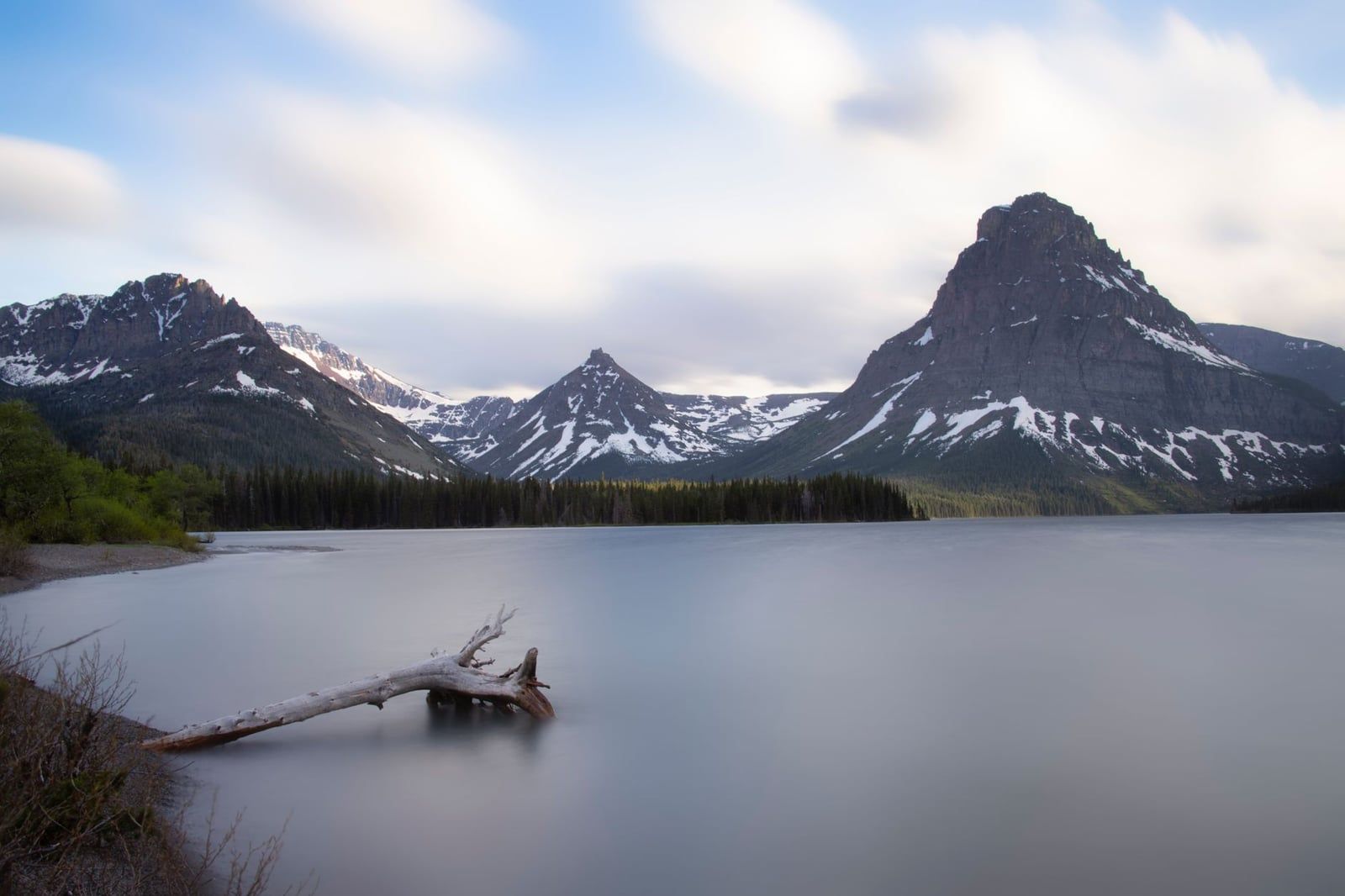
The North Shore Trail runs about 3.7 miles round trip to a waterfall along Two Medicine Lake's north side, gaining roughly 300 feet on a mostly flat, forested path. It's an easy introduction to the valley and often quiet even in July, since most Two Medicine visitors head straight for Scenic Point or the boat dock instead.
Twin Falls
Twin Falls is about 7.1 miles round trip from the east shore trailhead, or as short as 2 miles round trip if you take the Glacier Park Boat Company's shuttle across Two Medicine Lake to the West End dock. The boat runs on a paid schedule and turns a moderate day hike into a short afternoon walk, though tickets should be bought ahead in peak season.
Scenic Point
Scenic Point is a 7.7-8 mile round trip with about 2,300 feet of elevation gain, switchbacking up through whitebark pine to an open, wind-scoured overlook above the tree line with views across the Two Medicine valley toward the plains. It's one of the more strenuous options on this list relative to its distance, thanks to a steep, sustained climb rather than a gradual one.
Rockwell Falls and Aster Falls
Rockwell Falls and Aster Falls sit along the trail that continues past Two Medicine Lake toward Oldman Lake, a pair of waterfall stops for hikers who want more distance than the North Shore Trail without committing to a full pass crossing. Both are reachable as an out-and-back extension from the lake's south shore trail.
Cobalt Lake
Cobalt Lake sits on a spur trail below the peaks above Two Medicine Lake, reached by hikers looking for a lake destination with fewer people than Two Medicine Lake itself. It's often combined with a broader loop through the valley rather than hiked as a simple out-and-back.
Dawson-Pitamakan Pass Loop
The Dawson-Pitamakan Pass Loop runs roughly 17.5 miles and crosses two passes above Two Medicine Lake, with views down onto Oldman Lake, Two Medicine Lake, and the Continental Divide from open ridgeline for much of the day. It's rated among the park's best long-distance day hikes, but the length and elevation make it a full-day commitment best started at first light.
Running Eagle Falls
Running Eagle Falls is a short, wheelchair-accessible nature trail to a waterfall where, in high water, an upper falls appears to erupt from the rock face above a lower falls. It's one of only two paved, fully accessible trails in the park alongside the Trail of the Cedars, and it requires no real hiking to reach.
Best Hikes on the West Side and North Fork (Least Crowded)
The west side around Apgar and Lake McDonald sees heavy day-trip traffic from West Glacier, but a short drive north into the North Fork past Polebridge empties out fast, trading pavement for washboard gravel and some of the park's least-visited trails.
Bowman Lake
Bowman Lake sits at the end of a 26-mile dirt road from Polebridge, rough enough that most visitors treat the drive itself as part of the trip. The lakeshore trail toward Bowman Creek is about 8 miles round trip with roughly 300 feet of gain, tracing the shore of a long, narrow lake ringed by peaks with almost none of the crowds found on the Sun Road.
Mount Brown and Snyder Lake
Mount Brown and Snyder Lake share a trailhead near Lake McDonald Lodge before splitting onto separate, steep climbs through dense forest. The Mount Brown route climbs to a high viewpoint above Lake McDonald, while the Snyder Lake fork ends at a smaller alpine lake tucked below the peaks; both see far fewer hikers than anything starting from Logan Pass.
Apgar Lookout
Apgar Lookout is about 7.1 miles round trip with roughly 1,845 feet of elevation gain, switchbacking up open, sun-exposed slopes to a fire lookout above Lake McDonald and the Apgar area. The open terrain makes it one of the hotter climbs on the west side by midsummer, so start early and carry extra water.
John's Lake Loop and McDonald Creek
John's Lake Loop is a short, easy walk near Lake McDonald through old-growth cedar and hemlock forest, passing turquoise pools along McDonald Creek before looping back past a small, quiet lake. It's a good option after a long drive in, or as a stretch-the-legs stop that doesn't require committing to a full day hike.
Easiest Hikes for Families, Beginners, and Short Timelines
These are the hikes worth prioritizing on a short visit or with young kids in tow. All are covered above in more detail and gathered here as a single shortlist organized by difficulty rather than by region.
- Trail of the Cedars: 0.9-mile wheelchair-accessible boardwalk loop, about 49 feet of gain, near Avalanche Creek.
- Hidden Lake Overlook: 2.7 miles round trip, 460 feet of gain, from Logan Pass Visitor Center.
- St. Mary and Virginia Falls: 3.1-3.6 miles round trip to two named waterfalls.
- Running Eagle Falls: a flat, paved short walk, no real elevation gain.
- Sun Point Nature Trail: a short walk from a Sun Road pullout to a lake overlook.
- Two Medicine Lake North Shore Trail: 3.7 miles round trip on mostly flat ground.
Planning Essentials: Permits, Shuttles, Crowds, and Bear Safety
Getting the logistics right matters as much as picking the right trail in Glacier. The sections below cover entrance fees, the 2026 shuttle rules, boat shuttles, snow timing, bear safety, closures, and backcountry permits in one place.
Entrance Fees and the 2026 Shuttle System
A standard vehicle pass costs $35 in summer ($25 from November through April), valid for seven consecutive days; the park takes cards only, no cash. For 2026, the multi-year timed-entry vehicle reservation system has been dropped — instead, Logan Pass parking is capped at three hours starting July 1, and a $1 ticketed shuttle booked through Recreation.gov covers the Going-to-the-Sun Road shuttle route. Check the park's current shuttle page before your trip, since these rules have changed nearly every year since 2021.
Boat Shuttles That Shorten Hikes
Glacier Park Boat Company runs paid shuttles in Many Glacier, across Swiftcurrent Lake and Lake Josephine, that cut about 3.4 miles off the round trip to Grinnell Glacier, and in Two Medicine, across Two Medicine Lake, that turn the 7.1-mile Twin Falls hike into a 2-mile stroll from the West End dock. Both run on a limited schedule and are worth booking ahead in July and August.
When Trails Are Actually Snow-Free
Trails at higher elevations — over mountain passes and along the Continental Divide — typically aren't snow-free until late July, per the park service, regardless of how warm it is down at Lake McDonald. That makes Siyeh Pass, Piegan Pass, Ptarmigan Tunnel, and Gunsight Pass poor bets in June even in a light-snow year; lower trails like Avalanche Lake, Trail of the Cedars, and the Two Medicine lakeshore trails clear much earlier.
Bear Safety and Hiking in Groups
Glacier has one of the densest grizzly populations in the Lower 48, and park regulations require staying at least 100 yards from any bear or wolf and 25 yards from other wildlife. Carry EPA-registered bear spray on every hike, make noise on blind corners and near running water, and stay with your group — separated hiking parties account for more than 75% of the park's search-and-rescue incidents, per NPS guidance.
Checking Closures and Beating the Parking Crush
The park posts trail and area closures every morning on its website and runs a text alert: send GNPTRAILS to 333111 for live updates, which frequently include bear-activity closures on trails like Cracker Lake and Grinnell Glacier. Arrive at popular trailheads — Logan Pass, Avalanche Creek, Many Glacier — before 8 a.m., since lots routinely fill by mid-morning through July and August.
Backcountry Permits for Overnight Trips
Day hikes need no permit anywhere in the park. Anyone extending a hike like Gunsight Pass, Dawson-Pitamakan, or the Highline into an overnight backcountry camp needs a wilderness camping permit, available at the Apgar Wilderness Permit Center, the St. Mary Visitor Center, or other ranger stations.
Best Time of Year to Hike Glacier's Top Trails
July through September is the core window for hiking Glacier's marquee trails, the stretch when Going-to-the-Sun Road is fully open and most high passes have lost their snow. July brings the heaviest wildflower bloom, including the bear grass that lines Hidden Lake Overlook and the Highline, but also the biggest crowds and a real chance that Siyeh Pass or Piegan Pass are still holding snow on north-facing slopes.
August typically has the longest daylight window and, compared to September, calmer weather on average, though Northern Rockies wildfire smoke is always a possibility in a dry year and can hang over ridgelines for days. September thins the crowds noticeably and brings golden larch trees by month's end, but shortens the safety margin: early snow can close high passes with little warning, and some services wind down after Labor Day.
Going-to-the-Sun Road's full opening over Logan Pass depends on snowpack and shifts year to year, typically landing in late June or early July. Check the park's current road status rather than assuming a fixed date, since a heavy winter can push it well into July.
Frequently Asked Questions
Frequently asked questions
What is the best hike in Glacier National Park?
Grinnell Glacier and the Highline Trail are the two most recommended hikes in the park. Grinnell Glacier (7.6-11 miles round trip depending on whether you take the boat shuttle, 1,800-2,047 feet of gain) gets you closest to an actual glacier; the Highline Trail (11.6 miles one-way from Logan Pass) delivers the longest stretch of ridge-top scenery.
What is the easiest hike in Glacier National Park with a big payoff?
Hidden Lake Overlook, 2.7 miles round trip with about 460 feet of gain from the Logan Pass Visitor Center, is the shortest hike that reaches genuine alpine scenery. Trail of the Cedars, a 0.9-mile wheelchair-accessible boardwalk loop near Avalanche Creek, is the easiest option overall if you don't need mountain views.
Do I need a permit or reservation to hike in Glacier National Park?
No permit is required for day hikes. Only overnight backcountry camping needs a wilderness permit, obtained at the Apgar Wilderness Permit Center, St. Mary Visitor Center, or another ranger station. For 2026 there's no vehicle reservation system; instead, Logan Pass has a three-hour parking limit starting July 1 and a $1 ticketed shuttle booked through Recreation.gov — confirm current rules before your trip.
Which area of Glacier has the best hiking, Many Glacier or Going-to-the-Sun Road?
Both rank at the top for different reasons. Many Glacier has the more dramatic trail list — Grinnell Glacier, Iceberg Lake, Cracker Lake, Ptarmigan Tunnel — and denser grizzly activity, while the Sun Road corridor has the single most famous trail in the park, the Highline, plus the easiest short hikes with a big view, like Hidden Lake Overlook and Avalanche Lake.
When is the best time of year to hike in Glacier National Park?
July through September, with July offering peak wildflowers and August the most reliable weather and longest days. High passes usually don't lose their snow until late July regardless of the month, and Going-to-the-Sun Road's full opening over Logan Pass shifts every year with snowpack.
Is Glacier National Park hiking dangerous because of bears?
Grizzly bears are common, particularly around Many Glacier, and park rules require staying at least 100 yards from any bear. Carry EPA-registered bear spray, hike in a group, make noise on blind corners, and check the daily trail closure report — separated hiking parties cause more than 75% of the park's search-and-rescue incidents.
What is the most difficult hike in Glacier National Park?
Gunsight Pass (about 17.6 miles round trip, roughly 3,500 feet of gain) and the Dawson-Pitamakan Pass Loop (about 17.5 miles) are the toughest day hikes on this list, both long enough that many hikers turn them into overnight backpacking trips instead.
Can I shorten Glacier's best hikes using boat shuttles?
Yes. Glacier Park Boat Company runs a shuttle across Swiftcurrent Lake and Lake Josephine in Many Glacier that cuts about 3.4 miles off the round trip to Grinnell Glacier, and a Two Medicine Lake shuttle that shortens the Twin Falls hike to about 2 miles round trip. Book both in advance during July and August.
Sources
- nps.gov/glac/planyourvisit/hikingthetrails.htm
- nps.gov/glac/planyourvisit/fees.htm
- nps.gov/glac/planyourvisit/hours.htm
- nps.gov/glac/learn/news/fact-sheet.htm
- nps.gov/glac/planyourvisit/bears.htm
- nps.gov/glac/planyourvisit/wilderness-in-glacier.htm
- nps.gov/glac/planyourvisit/vehicle-reservations2026.htm
- nps.gov/glac/planyourvisit/shuttle-service-2026.htm